Leisure time

Filter

Loading ...
View
Region
Category
Casti-Wergenstein
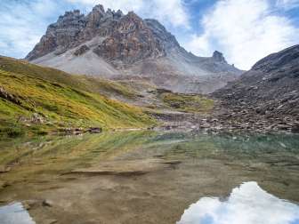
The standard equipment on the Via Capricorn includes good shoes, a water bottle and a warm jacket for higher altitudes, but above all: binoculars. At the latest after the steep ascent from Alp Biggenmad up to Alperschälli, the binoculars should be ready to hand. Because this is where the ibex can be seen particularly often.
Hinterrhein
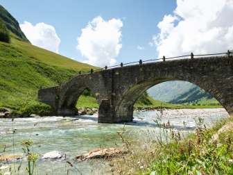
The Alte Landbrugg is a historic stone bridge from the 17th century that spans the Hinterrhein in two arches and is an important cultural asset in the Rheinwald.
Feldis
Feldis is a sunny excursion destination with a fantastic view. The chairlift takes you comfortably up the local mountain Mutta, which offers a unique panoramic view of Beverin, Tödi and the Calanda group.
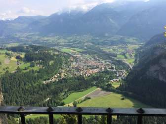
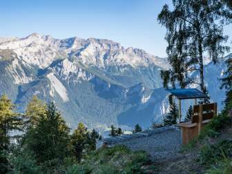
The viewpoint at Obertagstein Castle offers a breathtaking panorama for those with a head for heights.
Sils i.D.
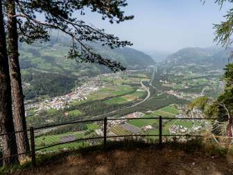
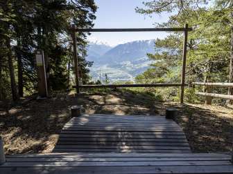
The viewpoint above Sils i.D. is the perfect place to take a break on a hike or bike tour.
Thusis
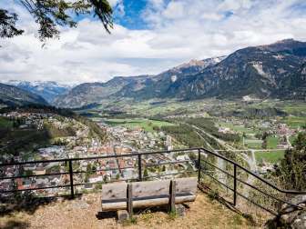
Beautiful viewpoint above Thusis.
Feldis
Viewpoint above Feldis with a magnificent view of the UNESCO World Heritage Sardona with a unique view of mountain formation.
Feldis
Enjoy the view of the Heinzenberg, the Piz Beverin and the Domleschg.
Zillis-Reischen
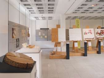
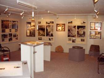
Since summer 1993, the permanent exhibition on the world-famous Romanesque picture ceiling of St. Martin's Church has been located on the main street in Zillis (a 5-minute walk from the church). It is worth visiting the exhibition first and then the church.
Mathon
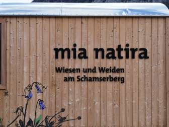
The small exhibition mia natira in the converted construction trailer provides an insight into the cultural landscape and biodiversity of the upper Schamserberg.
Zillis-Reischen
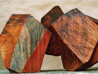
The sculptures of Not Bott (1927-1998), who left behind an impressive body of work, are exhibited in the Schams district mill in Zillis. The engine room can also be visited.
Andeer
In the exhibition created by Anselmo Gadola, visitors can find out lots of interesting facts about the mysterious rocks and stones in the region: did they serve as calendars, maps or other means of communication?
Loading ...